|
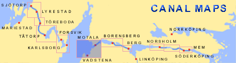
Borenshult Lock and Bridge < Westwards | Vadstena | Motala Lock and Bridges Borenshult Lock and Bridge | Eastwards > |
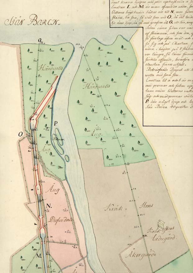
This map from 1774 is oriented so that North is to the left on the map.
The map shows von R÷÷k's proposal for the canal watercourse around the rapids at Motala. Farm names such as Duvedal and Krňksten are marked on the map.
Distinct markings show the structure of the cultural landscape of this time (VaLa). Click on the maps to enlargen! Use the "Back" button to return. |