kartabor.gif (16759 bytes)


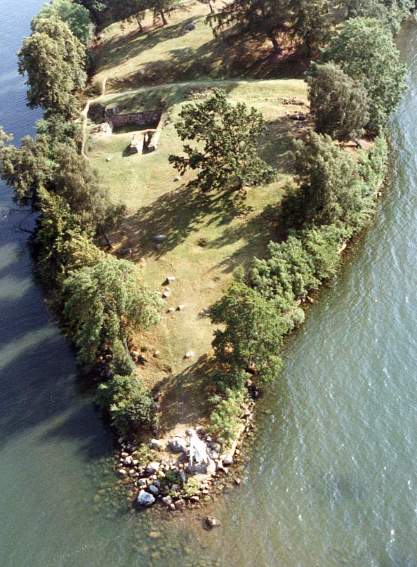
Cape Birgitta
< Westwards | Cape Birgitta | Borensberg (Husbyfjöl) | Näs Bridge
Kungs Norrby Bridge | Sörby Bridge | Ruda BridgeSjöbacka Bridge
Ljung BridgesSkarpåsen | Eastwards >

birgittasudde_flyg250.jpg (28274 bytes)Cape Birgitta stretches out into Lake Boren from present-day Ulvåsa. Here lie the remains of the castle where St. Brigit (Birgitta Birgersdotter Gudmarsson, 1303 - 1373) lived together with her husband, Prince Ulf Gudmarsson of Nierck. She gave birth to eight children. The oldest daughter, Catherine, became the first abbess in the Bridgettine Order of the monastery of Vadstena, the Birgittiner Kloster. See also: Vadstena l.

Source: County Administrative Board in Östergötland, Cultural Environment Office
Photo: Jan Norrman, the Swedish Central Board of Antiquities, 1991


Click on the maps to enlargen! Use the "Back" button to return.


Other maps of the area:
boren_birgittasudde.jpg (13659 bytes) Cape Birgitta from the west.
turist_birgittasudde-skarpasen.jpg (200218 bytes) General map of the stretch of canal between Borenshult and Skarpåsen (Ljungsbro).

(AB Göta kanal Tourist Map: Eastern Section, 1995).

Blue line = Gothenburg - Stockholm route of the Göta Canal used by the firm of shipowners Rederi AB Göta kanal.

Red line = bicycle path.