kartakar.gif (16563 bytes)


Karlsborg (Rödesund)
< WestwardsSpetsnäs Channel | Forsvik | Karlsborg | Eastwards >

rodesund_335_gkm_roddet_telf_91808_med.jpg (12591 bytes)Karlsborg was named in 1832 after King Karl XIV Johan. It was originally called Vanäs. Cape Vanäs was the location of the "strong fort used for the central national defence," as Baltzar von Platen so lively argued in the 1818 session of the Riksdag. In the words of von Platon: "Vanäs is undoubtedly the focal point for the nation's defence. This point is discovered via the Göta Canal. It is developed with the Göta Canal. It can only be perfected by the Göta Canal."

The following year, the king took a decision to build a fort near "the shores of Vanäs and Vättern". Building of Karlsborg Fort started in 1819 and was completed 90 years later in 1909.

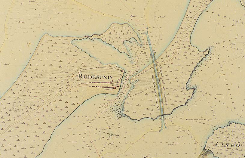
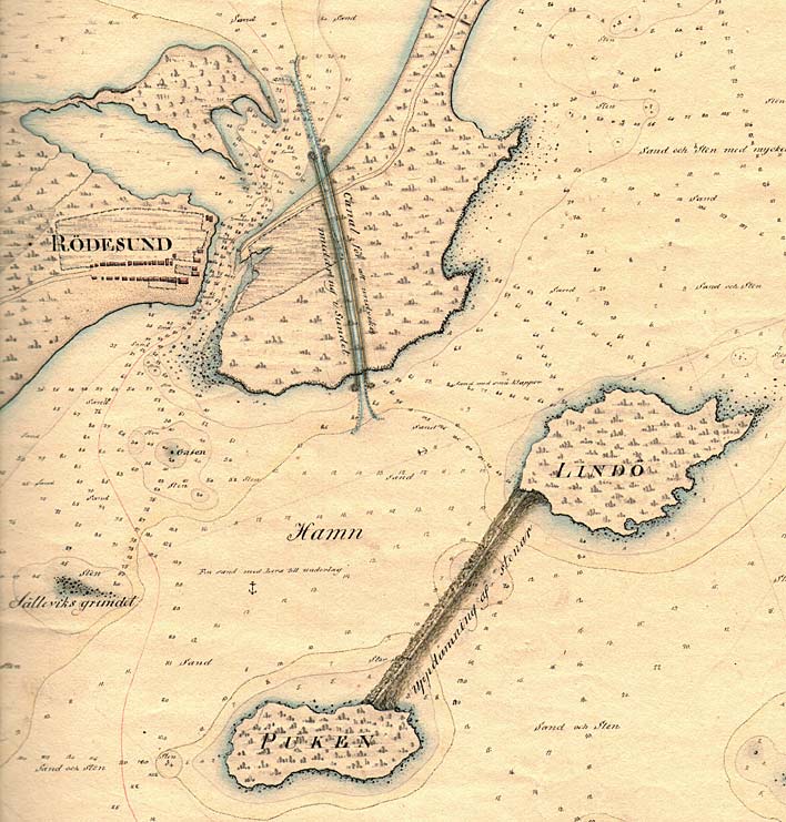
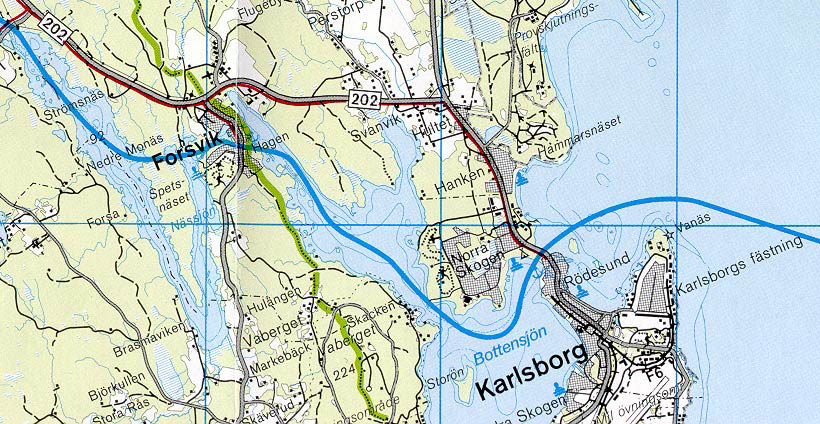
Map of the narrow passage of Rödesund, with water flowing from Lake Viken and Lake Bottensjön, 1808. One can see the interesting buildings on the western shore. Depth measurements are also accurately shown on the map.

Click on the maps to enlargen! Use the "Back" button to return.


Other maps of the area:
telf_III10_1808_rodesund.jpg (110783 bytes) This map is a section of the above map, which shows Daniel Thunberg's plans to build "a channel to avoid dredging in the sound" and to build a harbour by the outlet of the Göta Canal into Lake Vättern.
telf_III10_1808_vanas.jpg (58679 bytes) Map of Cape Vanäs, with Vanäs Manor as it looked before building of Karlsborg Fort had begun, 1808.
turist_karlsborg-forsvik.jpg (127404 bytes) General map of the stretch of canal between Karlsborg and Spetsnäs Channel.

(AB Göta kanal Tourist Map: Western Section, 1995).

Blue line = Gothenburg - Stockholm route of the Göta Canal used by the firm of shipowners Rederi AB Göta kanal.

Red line = bicycle path.