|
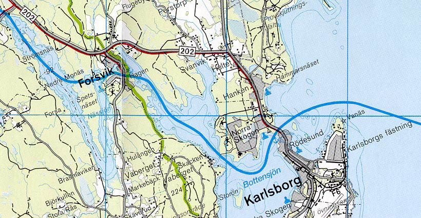
Forsvik < Westwards | Spetsnðs Channel | Forsvik | Karlsborg | Eastwards > |
Forsvik is where the digging of the western section of the G—ta Canal has its origin. In 1813, the first canal lock of the present-day 58 locks of the G—ta Canal was built. It was named after the then king of Sweden, Karl XIII.
Adjacent the canal lock is the oldest bascule bridge on the canal. This particular bridge, from 1813, is notably the first cast-iron bridge built in Sweden. The design of the bridge was taken from a model from the company Forth & Clyde Canal and was procured by Thomas Telford. The bridge was in use up until 1940.
Appoximately 500 men worked at the Forsvik station during the first year of the building of the canal. The most well known of these was the Eriksson family, from LÍngbanshyttan. The father was responsible for the blasting operations. The mother opened a canteen/sutlery in the company office, where the drawing office was also located. Here, the two sons, Nils and John Eriksson, learned drawing and measurement techniques. John became an apprentice at the young age of 13.
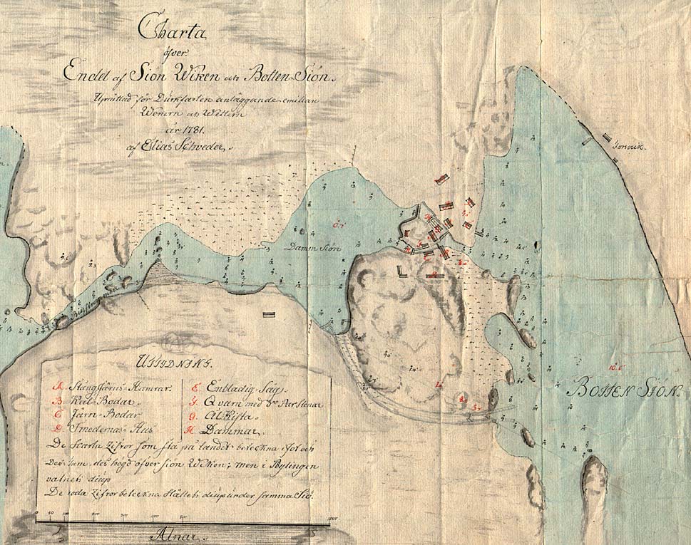
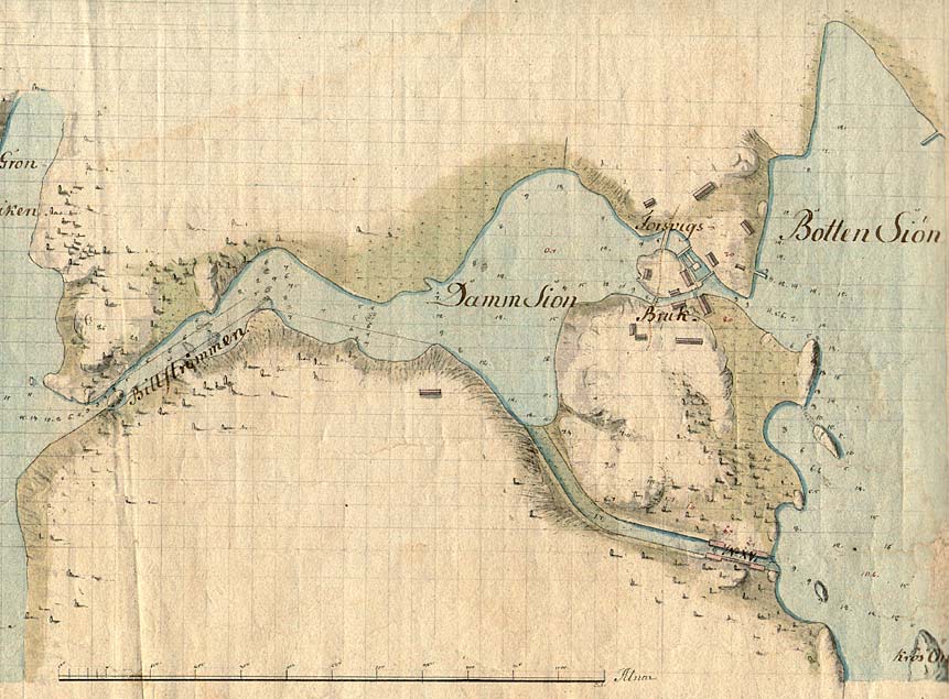
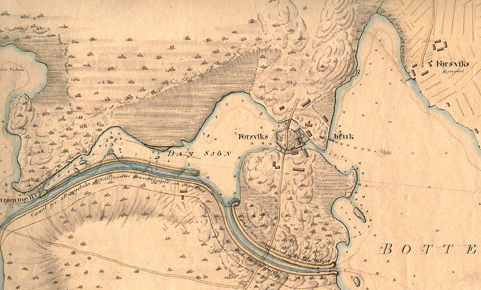
The boys gained a considerable amount of engineering knowledge on the building of the G—ta Canal. This knowledge was later put into practice in various well-known industrialisation projects. John was the inventor of the propeller, the locomotive and the warship Monitor, used by the North in the American Civil War. Nils was a canal and railway builder. Nils led the building of the Trollhðtte Canal, in western Sweden, and the Saima Canal, in Finland. He was also head of the State railway construction. Map of Forsvik Bruk from 1781. The cartographer was Elias Schveder. On this map, one can see the first sketch, done in pencil, of the watercourse of the G—ta Canal. The canal is drawn around the falls at Forsvik and out along the narrow channel of Billstr—mmen. The map includes a detailed explanation of the industrial buildings and their use during that time. Click on the maps to enlargen!
Use the "Back" button to return. |