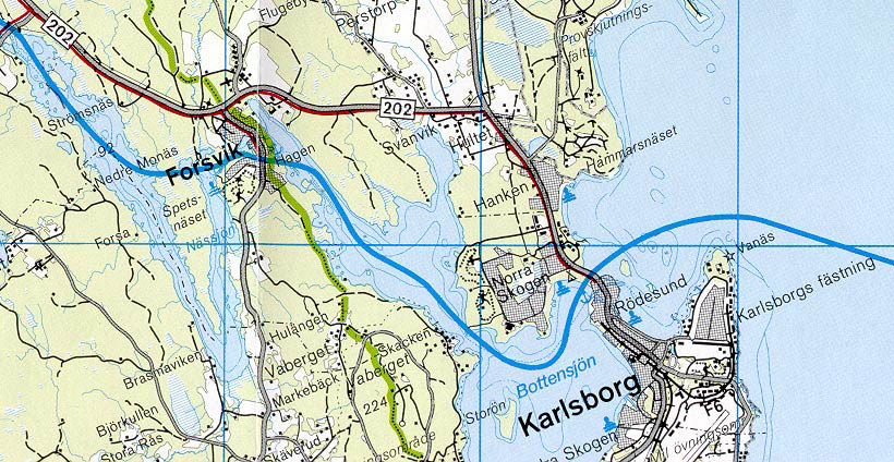
kartakar.gif (16563 bytes)


Spetsnäs Channel and Kiddösund Wall
< WestwardsSpetsnäs Channel | Forsvik | Karlsborg | Eastwards >

spetsnas250.jpg (12531 bytes)Spetsnäset is the name of the peninsula that forms the southern-most part of Lake Viken. Plans were made early-on to shorten the section of canal around Spetsnäset with a canal cutting across directly west of the channel of Billströmmen.

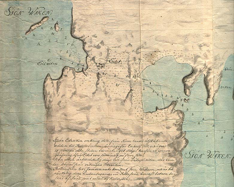
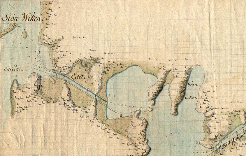
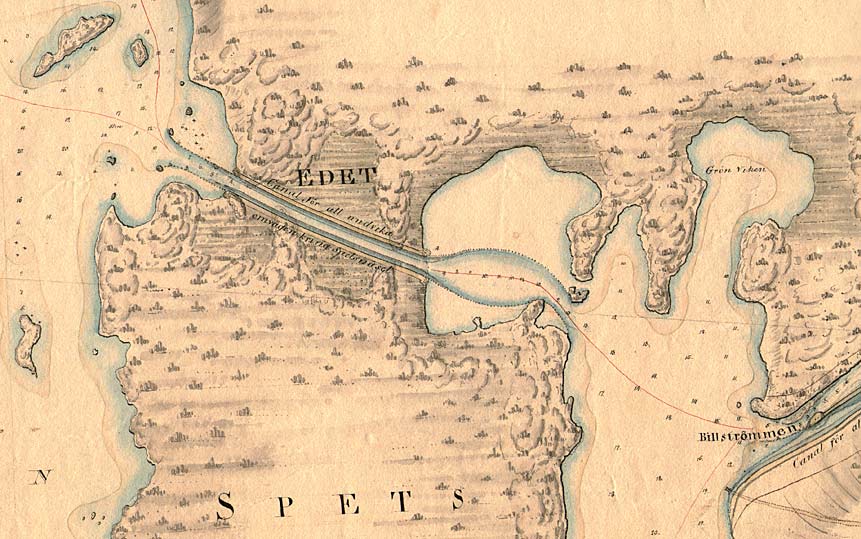
On this map from 1781, by Elias Schveder, the stretch of canal called the Spetsnäs Channel has been sketched in pencil. Depth measurements are also detailed on the map. The Spetsnäs Channel, which is notably an enkelcanal, was made by blasting through rock and was ready to be used in 1824, two years after the inauguration of the western section of the canal (Västgötalinjen), in Hajstorp.


Click on the maps to enlargen! Use the "Back" button to return.


Other maps of the area:
schw_I15b_spetsnas.jpg (92304 bytes) On this map from 1784, the first stretch of the Spetsnäs Channel, around Edet has been drawn.
telf_III9_1808_spetsnas.jpg (102547 bytes) This map, probably from 1808, shows the final stretch of the Spetsnäs Channel. One can see on the map the words "Channel to avoid a detour around Spetsnäset". The planned lanes are also shown on this map.
turist_karlsborg-forsvik.jpg (127404 bytes) Kiddösund Wall

The island of Kiddön lies approximately 2 km north of the opening of the Spetsnäs Channel in Lake Viken. There is a 600 metre-long wall, or jetty, that stretches out from this point. Since the channel is difficult to navigate at this location, vessels were towed through the rock-strewn waters instead.

(Located near the "Strö" in Strömsnäs on this map.)

General map of the stretch of canal between Karlsborg and Spetsnäs Channel.

(AB Göta kanal Tourist Map: Western Section, 1995).

Blue line = Gothenburg - Stockholm route of the Göta Canal used by the firm of shipowners Rederi AB Göta kanal.

Red line = bicycle path.