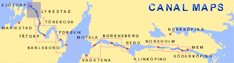
kartasjo.gif (16612 bytes)


Lyrestad Bridges
Sjötorp Locks | Rogstorp Bridge | Lyrestad Bridges | Norrkvarn Locks and Bridges | Eastwards >

lyrestad-norrkvarn250.jpg (14346 bytes)Section of Elias Schveder's general map from 1784, with legend.

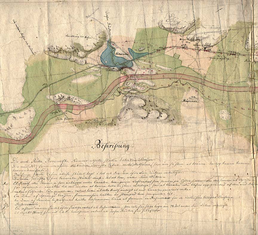
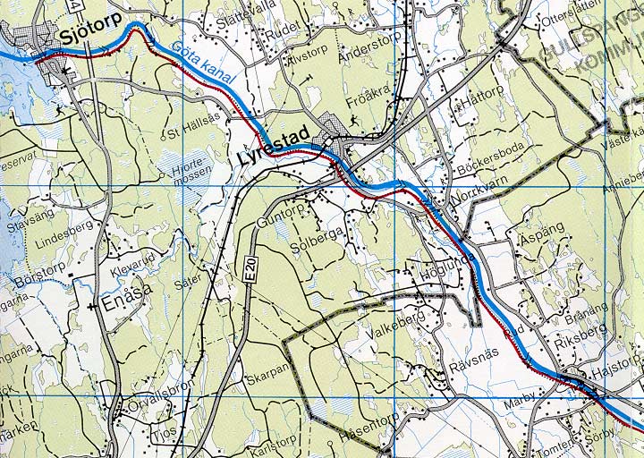
One can see the important main road that runs towards the town of Tiveden and the farming plains to the south. Also marked on the map is a bridge on the canal.

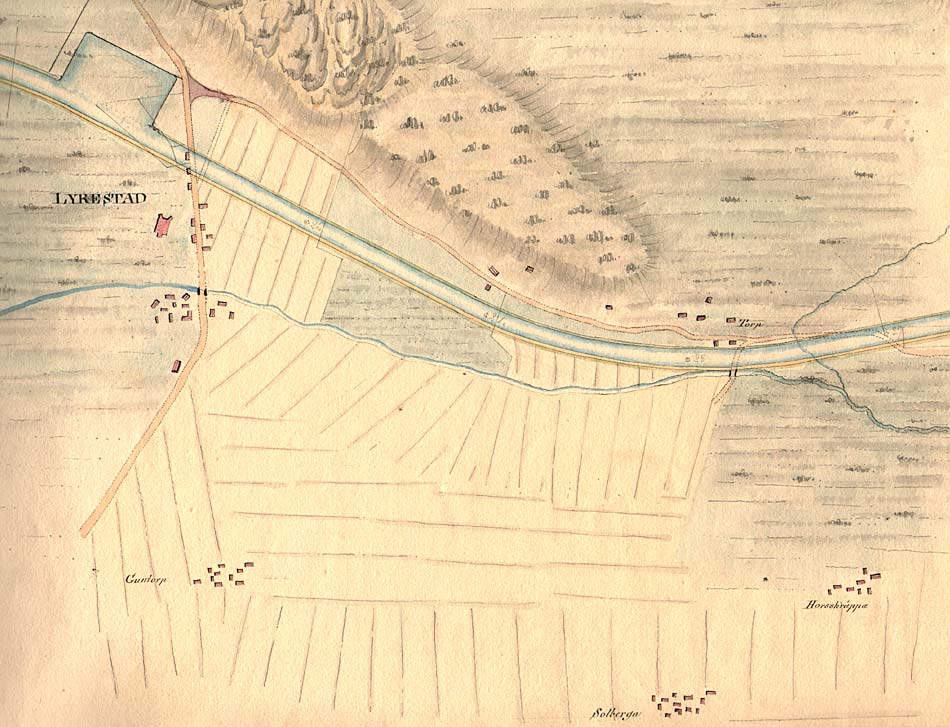
Lyrestad is shown on this map as a dock. Baltzar von Platen had great plans for the town. Due to its advantageous location, Baltzar von Platen thought that Lyrestad would become one of the five towns along the Göta Canal to flourish.

Click on the maps to enlargen! Use the "Back" button to return.


Other maps of the area:
thbg_I8_lyrestad.jpg (173577 bytes) Detail from Daniel Thunberg's map from 1784, which shows in detail the network of roads and buildings such as Lyrestad Church and Lyrestad Vicarage, in relation to the planned stretch of canal.
telf_III3_1808_lyrestad.jpg (116567 bytes) Telford's map of Lyrestad from 1808. The map shows the moorings that were developed. Plans were made to connect a rectangular harbour dock to the canal bridge. This dock was later realised.
turist_sjotorp-norrkvarn.jpg (129216 bytes) General map of the stretch of canal between Norrkvarn and Sjötorp.

(AB Göta kanal Tourist Map: Western Section, 1995).

Blue line = Gothenburg - Stockholm route of the Göta Canal used by the firm of shipowners Rederi AB Göta kanal.

Red line = bicycle path.