|
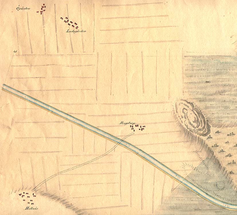
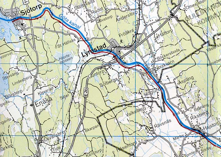
Rogstorp Bridge Sj—torp Locks | Rogstorp Bridge | Lyrestad Bridges | Norrkvarn Locks and Bridges | Eastwards > |
Click on the maps to enlargen! |
|
Rogstorp Bridge Sj—torp Locks | Rogstorp Bridge | Lyrestad Bridges | Norrkvarn Locks and Bridges | Eastwards > |
Click on the maps to enlargen! |
Other maps of the area: |
||
 |
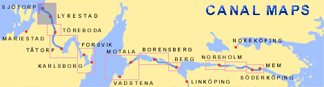
General map of the stretch of the canal between Norrkvarn and Sj—torp.
(AB G—ta kanal Tourist Map: Eastern Section, 1995). Blue line = Gothenburg - Stockholm route of the G—ta Canal used by the firm of shipowners Rederi AB G—ta kanal. Red line = bicycle path. |
|