kartasjo.gif (16612 bytes)


Norrkvarn Locks and Bridges
Sjötorp Locks | Rogstorp Bridge | Lyrestad Bridges | Norrkvarn Locks and Bridges | Eastwards >

lyrestad-norrkvarn250.jpg (14346 bytes)Section of Elias Schveder's general map from 1784, with legend.

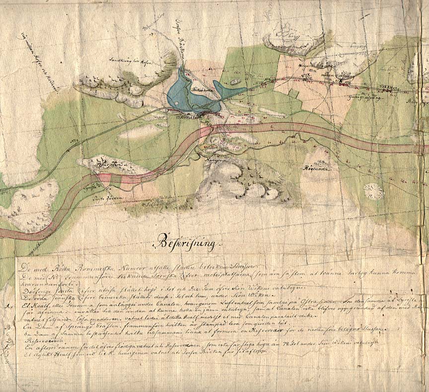
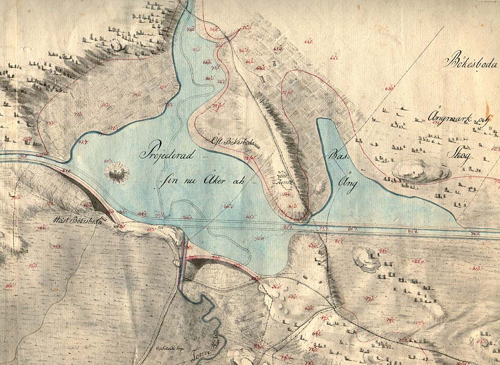
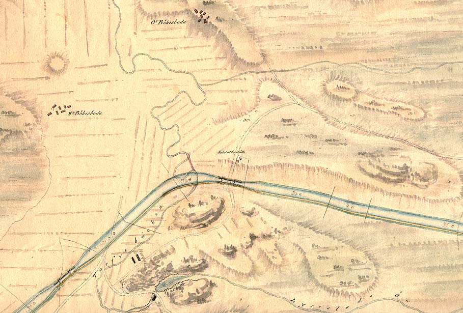
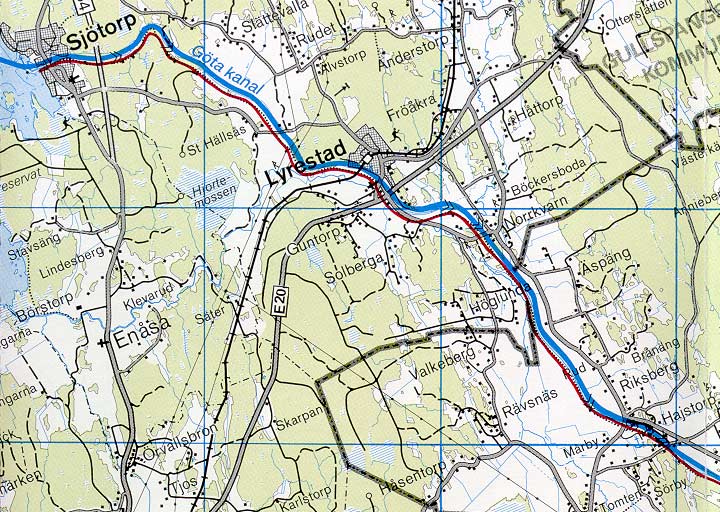
The complex hydrography of this location can be seen on this map. Canal builders were forced to build an aqueduct in order to draw the canal over the crossing brook, Torvebäcken. The are also five locks and one bridge located in Norrkvarn. The blue-coloured areas indicate the planned sites for damming.

Norrkvarn was also the location of an important working station on the Göta Canal, between 1810 and 1820. There was a limestone furnace, a cottage hospital and a device for the transferring of mechanical energy (stånggång) at this location. Workers' barracks were also located here. Approximately 300 men were billeted in Norrkvarn during the construction of the canal.

Click on the maps to enlargen!
Use the "Back" button to return.

Other maps of the area:
thbg_I8_damm-bokesboda.jpg (174035 bytes) Detail from Daniel Thunberg's map from 1784, which shows the planned damming of the brook Torvebäcken, on top of the meadows and fields of the town of Bäckersboda. The manner in which the map has been drawn is exquisite, especially in its method of capturing the grandness of the planned dams and their location in the surrounding terrain.
telf_III4_1808_norrkvarn.jpg (102720 bytes) As can be seen here the damming at Bäckersboda does not appear on Telford's map from 1808. The map does show, on the other hand, the upper and lower locks at Norrkvarn as well as the crossing of Torvebäcken.
turist_sjotorp-norrkvarn.jpg (129216 bytes) General map of the stretch of canal between Norrkvarn and Sjötorp.

(AB Göta kanal Tourist Map: Western Section, 1995).

Blue line = Gothenburg - Stockholm route of the Göta Canal used by the firm of shipowners Rederi AB Göta kanal.

Red line = bicycle path.