|
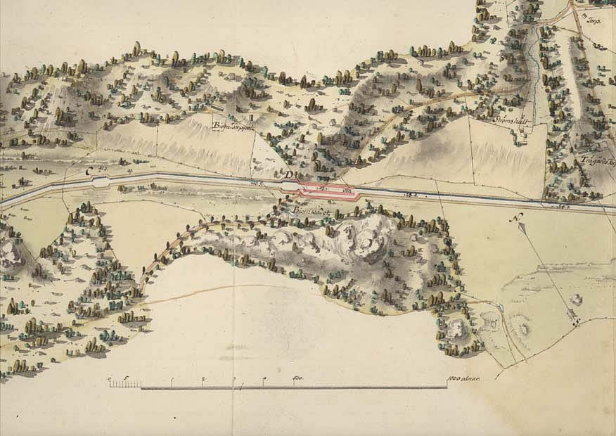
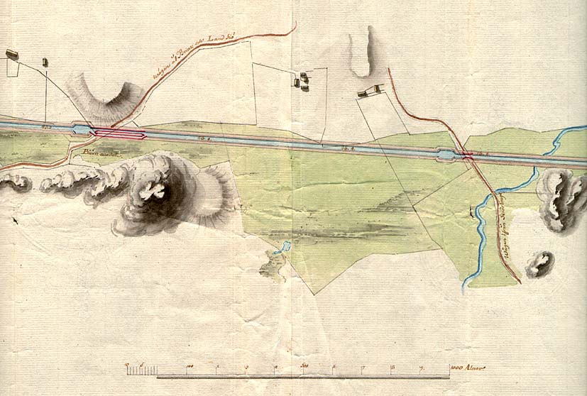
Bj÷rnavad Bridge < Westwards | Norsholm | Piparebacken | Bj÷rnavad Bridge | BrÕttom Lock | Eastwards > |
(von R÷÷k, 1774). Click on the maps to enlargen!
|
|
Bj÷rnavad Bridge < Westwards | Norsholm | Piparebacken | Bj÷rnavad Bridge | BrÕttom Lock | Eastwards > |
(von R÷÷k, 1774). Click on the maps to enlargen!
|
Other maps of the area: |
||
 |
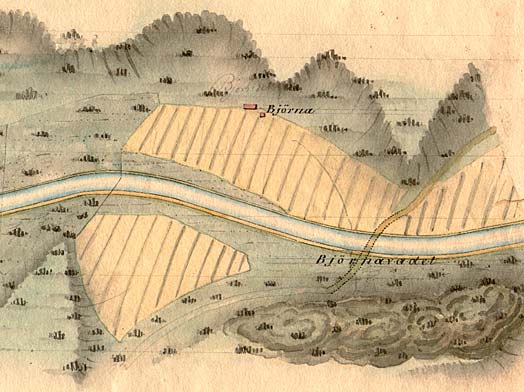
Passing place at Bj÷rnavad. (von R÷÷k) |
|
 |
Telford's map from 1808. | |
| General map of the stretch of canal between Norsholm and BrÕttom.
(AB G÷ta kanal Tourist Map: Eastern Section, 1995). Blue line = Gothenburg - Stockholm route of the G÷ta Canal used by the firm of shipowners Rederi AB G÷ta kanal. Red line = bicycle path. |