|
Piparebacken < Westwards | Norsholm | Piparebacken | Björnavad Bridge | Brĺttom Lock | Eastwards > |
Click on the maps to enlargen!
|
|
Piparebacken < Westwards | Norsholm | Piparebacken | Björnavad Bridge | Brĺttom Lock | Eastwards > |
Click on the maps to enlargen!
|
Other maps of the area: |
||
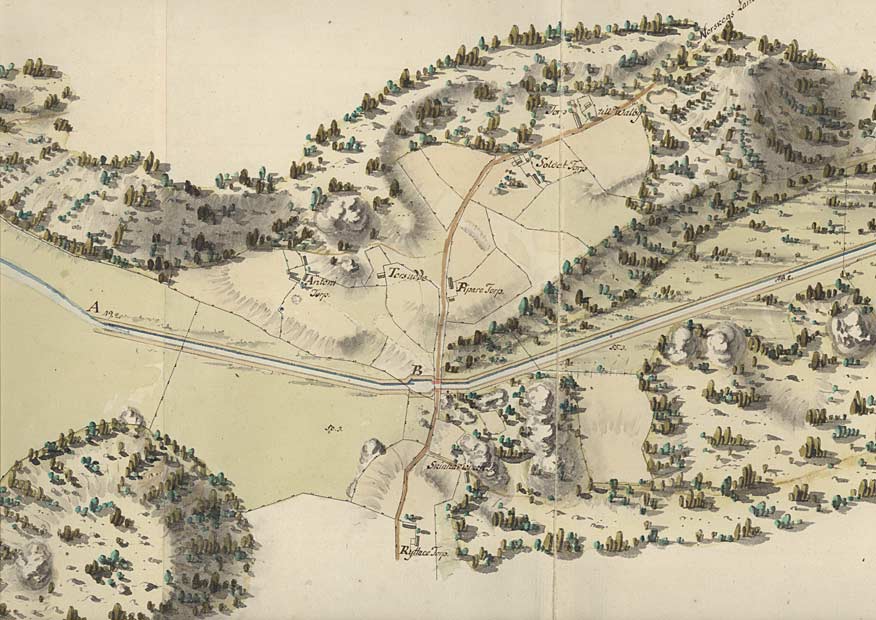
| Von Röök map from 1774.
Von Röök even accurately specifies the names of the farms: Antoni torp, Piparetorpet and Ryttaretorpet. |
||
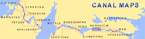
| General map of the stretch of canal between Norsholm and Brĺttom.
(AB Göta kanal Tourist Map: Eastern Section, 1995). Blue line = Gothenburg - Stockholm route of the Göta Canal used by the firm of shipowners Rederi AB Göta kanal. Red line = bicycle path. |