kartanor.gif (16675 bytes)


Bråttom Lock
< Westwards | Norsholm | Piparebacken | Björnavad Bridge | Bråttom Lock | Eastwards >

vala023146_brattom_hori_250.jpg (23862 bytes)Bråttom (or Brådtom) Lock was completed in 1826 and was first named Stockholm.

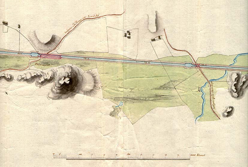
Since then both the bridge and the lock have been dogged by accidents. In 1834 the steamer Sjöhasten (Sea Horse) rammed into the bridge. It took four years to repair the bridge. In 1904 the cargo boat Mars crashed into the lower lock gates and the whole section of the canal had to be closed.

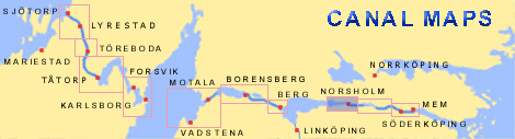
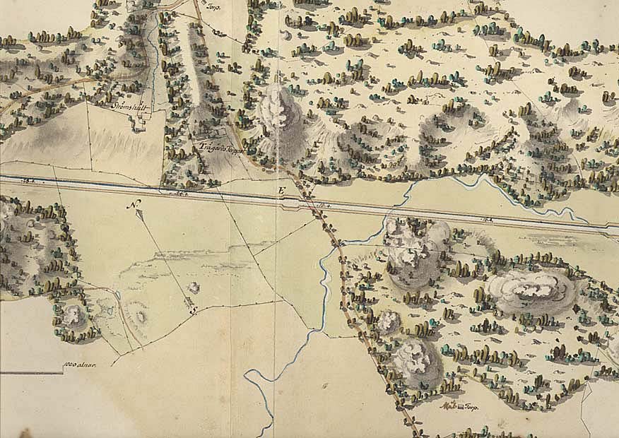
These incidents were what led the locks to officially receive a new name - a name that possibly gave the skippers on the canal something to think about when they approached. "Bråttom" means to be in a hurry.

On the map are the farms of Strömshult and Trädgårdstorpet (von Röök 1774).

Click on the maps to enlargen! Use the "Back" button to return.


Other maps of the area:
rook_I4a_bjornavad-brattom.jpg (78103 bytes) Map of Björnavad and Bråttom
(von Röök, 1770s)
brattom_flyg.jpg (79296 bytes) Aerial photo of Bråttom Lock

Source: County Administrative Board in Östergötland, Cultural Environment Office
Photo: Jan Norrman, the Swedish Central Board of Antiquities, 1991
turist_norsholm-brattom.jpg (151368 bytes) General map of the stretch of canal between Norsholm and Bråttom.

(AB Göta kanal Tourist Map: Eastern Section, 1995)

Blue line = Gothenburg - Stockholm route of the Göta Canal used by the firm of shipowners Rederi AB Göta kanal.

Red line = bicycle path.