kartanor.gif (16675 bytes)


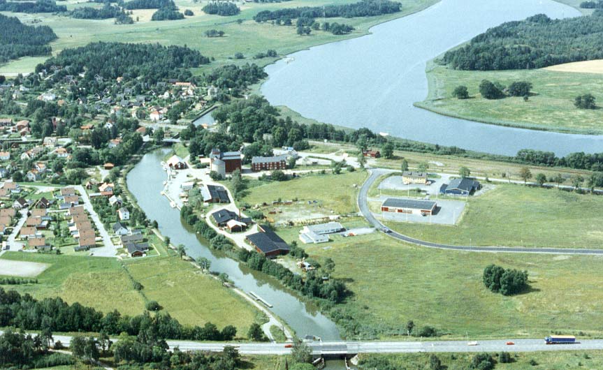
Norsholm Lock and bridges
< Westwards | Norsholm | Piparebacken | Björnavad Bridge | Bråttom Lock | Eastwards >

vala023146_norsholm_250.jpg (10099 bytes)Norsholm is an important junction. This is where the Göta Canal enters into Lake Roxen, which discharges itself into the river Motala Ström.

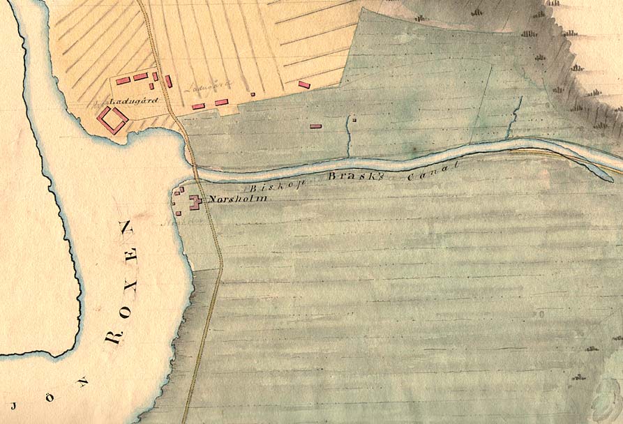
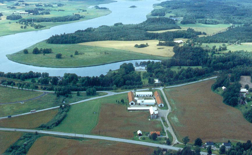
Located on the point, opposite the Norsholm Farm and near the outlet, is where Bishop Hans Brask (1464 - 1538) had his place of residence, in Munkeboda. Hans Brask is more than likely the one behind the conception of the Göta Canal.

In a letter to Thure Jönsson in 1526, entitled "Tre Rosor" (Three Roses), Hans Brask writes "A path shall be cut between Lake Vättern and Lake Vänern…" in order to avoid paying a toll in the sound Öresund, between Denmark and Sweden.

The site "Braskens grav" is not what it was first believed to be during the initial excavation of the canal. Instead, it was discovered to be a natural geological formation. In several of the canal proposals, this formation is incorporated into this stretch of the canal.
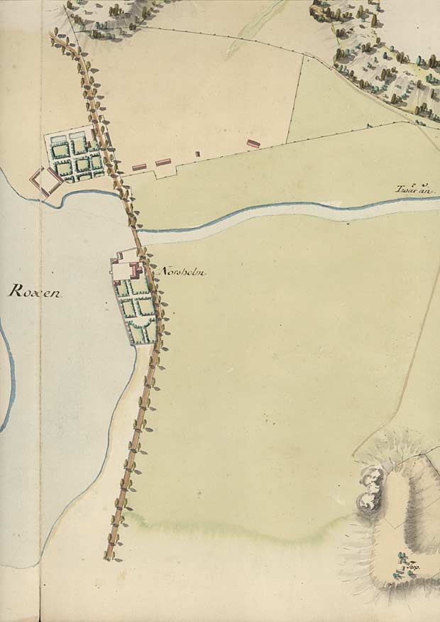
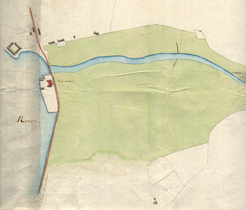
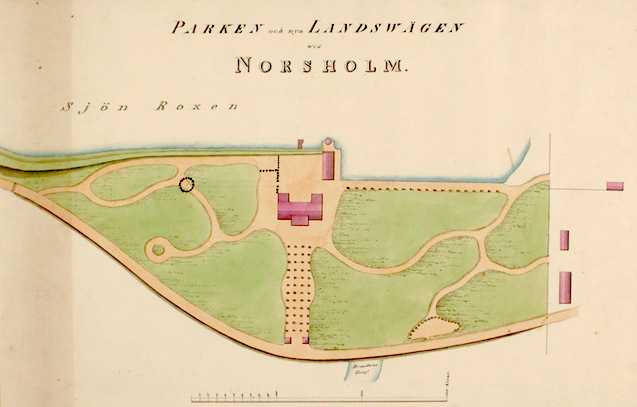
On von Röök's map from 1774, one can see Norsholm Farm and the outlet of the canal in the river Tvärån, called Braskens grav.

Click on the maps to enlargen! Use the "Back" button to return.


Other maps of the area:
rook_I4a_norsholm.jpg (79775 bytes) Von Röök's map with a drawing of the canal, 1774
telf_III17_1808_norsholm.jpg (90471 bytes) Telford's proposal of the course of the canal through "Bishop Brask's Channel," i.e. the river Tvärån, 1808.
norsholm_tradgard.jpg (58232 bytes) Proposal for landscaping. A small portion of the site Braskens grav and the main road can be made out near the lower edge of the map. The year is not shown.
norsholm_gard_flyg.jpg (78545 bytes) Aerial photo of Norsholm Farm and the point, where Munkeboda, Bishop Hans Brask's place of residence, was located.

In the lower left corner is the site Braskens grav.

Source: County Administrative Board in Östergötland, Cultural Environment Office.

Photo: Jan Norrman, the Swedish Central Board of Antiquities, 1991.

norsholm_samh_flyg.jpg (96861 bytes) Aerial photo of Norsholm Harbour and surrouding community. In 1872 a bascule bridge, built for the present-day railway, was built over the Göta Canal, and in 1878 a narrow-gauge railway was built from the copper mine in Bersbo (Åtvidaberg) to Norsholm and was connected to the trunk line.

Source: County Administrative Board in Östergötland, Cultural Environment Office.

Photo: Jan Norrman, the Swedish Central Board of Antiquities, 1991.

turist_norsholm-brattom.jpg (151368 bytes) General map of the stretch of canal between Norsholm and Bråttom.

(AB Göta kanal Tourist Map: Eastern Section, 1995).

Blue line = Gothenburg - Stockholm route of the Göta Canal used by the firm of shipowners Rederi AB Göta kanal.

Red line = bicycle path.