|
Loddby Bridge < Westwards | Hulta Lock | Sn÷velstorp Bridge | Klõmman Lock Loddby Bridge | Võnneberga Bridge | Eastwards > |
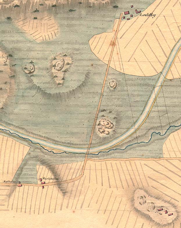
Von R÷÷k's proposal from 1774, which shows the location of the manor and buildings clearly.
|
|
Loddby Bridge < Westwards | Hulta Lock | Sn÷velstorp Bridge | Klõmman Lock Loddby Bridge | Võnneberga Bridge | Eastwards > |
Von R÷÷k's proposal from 1774, which shows the location of the manor and buildings clearly.
|
Other maps of the area: |
||
 |
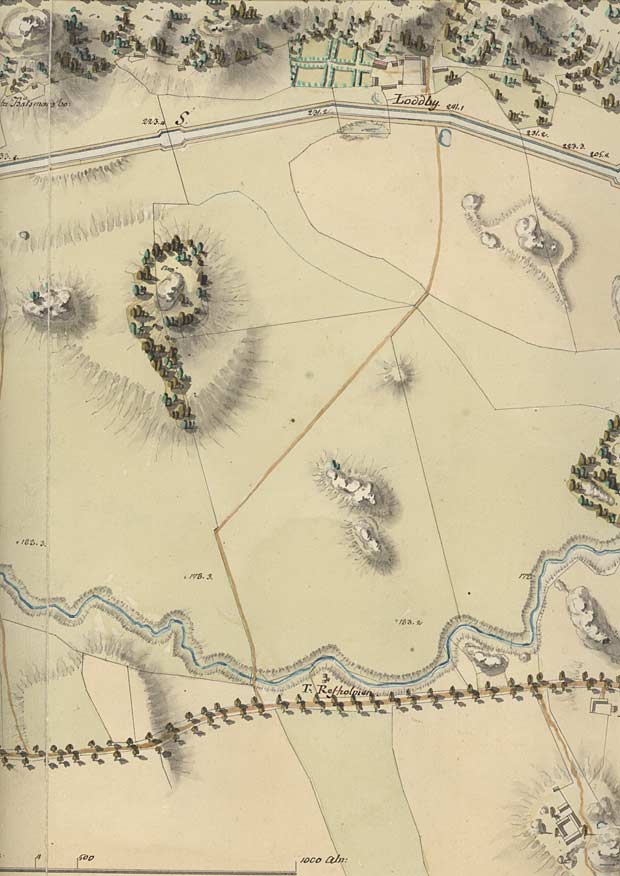
Telford's map from 1808. | |
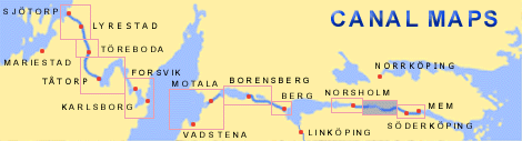
| General map of the stretch of the canal between Hulta and Võnneberga.
(AB G÷ta kanal Tourist Map: Eastern Section, 1995). Blue line = Gothenburg - Stockholm route of the G÷ta Canal used by the firm of shipowners Rederi AB G÷ta kanal. Red line = bicycle path. |
||