kartaasp.gif (16784 bytes)


Snövelstorp Bridge
< Westwards | Hulta Lock | Snövelstorp Bridge | Klämman Lock
Loddby Bridge | Vänneberga Bridge |  Eastwards >

vala023148_snoveltorp_250.jpg (9663 bytes)Snövelstorp Bridge was originally a rolling bridge on the main road to Norrköping. In 1941 it was replaced with a swing bridge.

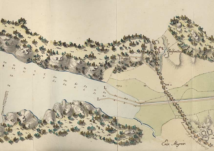
On von Röök's map from 1774, one can see the depth measurements for the the canal's watercourse through the lake. Some information on elevation is also given here. In the lower right corner of the map is the signature of von Röök's skilful cartographer, Eric Myhrén, who was also fortifications officer.

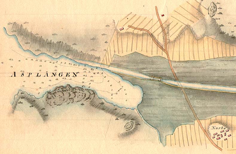
Kongsör Manor, Snöfweltorp Manor and Norbo Manor can also be seen on the map.

Click on the maps to enlargen! Use the "Back" button to return.


Other maps of the area:
telf_III19_1808_snovelstorp.jpg (72031 bytes) Telford's stretch of the canal at Snövelstorp and Nordbo and the stretch of canal near the eastern end of Lake Asplången, 1808
asplangen_flyg.jpg (96550 bytes) Aerial photo of Snöveltorp Bridge and Lake Asplången

Source: County Administrative Board in Östergötland, Cultural Environment Office
Photo: Jan Norrman, the Swedish Central Board of Antiquities, 1991

turist_hulta-vanneberga.jpg (111668 bytes) General map of the stretch of canal between Hulta and Vänneberga.

(AB Göta kanal Tourist Map: Eastern Section, 1995).

Blue line = Gothenburg - Stockholm route of the Göta Canal used by the firm of shipowners Rederi AB Göta kanal.

Red line = bicycle path.