kartaasp_eng.gif (16784 bytes)


Vänneberga Bridge
< Westwards | Hulta Lock | Snövelstorp Bridge | Klämman Lock
Loddby Bridge | Vänneberga Bridge |  Eastwards >

vala023149_vanneberga_250.jpg (9507 bytes)Vänneberga bridge is one of the many rolling bridges over the Göta Canal. The present bridge was reconstructed and reinforced in 1958.

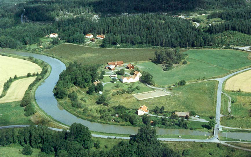
There are also a couple of automaticly operated sectional canal gates here. Their purpose is to prevent all of the water from running out of the canal in the case, for example, that the banks suddenly give way. Such was the case in 1847 with the southern bank of this stretch of the canal. Shortly after the incident, the sectional canal gates were put into operation.

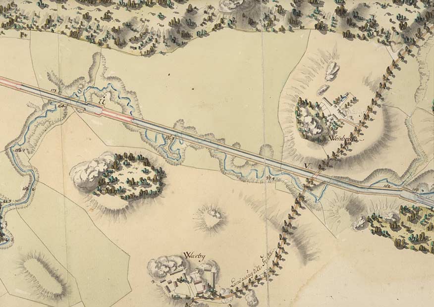
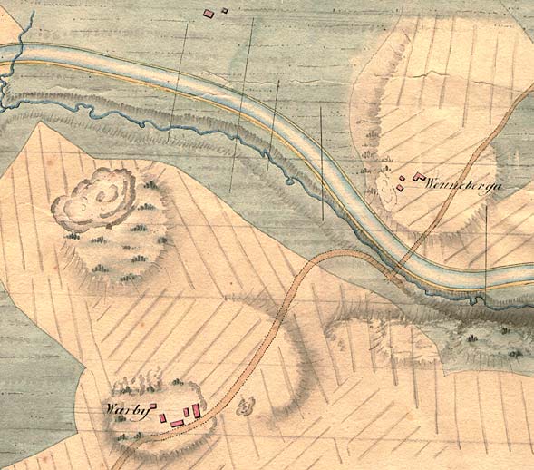
In von Röök's proposal from 1774 (left), one can see in detail the Vänneberga and Varby Manors and the main road that passes by them.

Click on the maps to enlargen! Use the "Back" button to return.


Other maps of the area:
telf_III20_1808_vanneberga.jpg (62616 bytes) Telford's map from 1808
vanneberga_flyg.jpg (90306 bytes) Aerial photo of Vänneberga Bridge

Source: County Administrative Board in Östergötland, Cultural Environment Office
Photo: Jan Norrman, the Swedish Central Board of Antiquities, 1991

turist_hulta-vanneberga.jpg (111668 bytes) General map of the stretch of canal between Hulta and Vänneberga.

(AB Göta kanal Tourist Map: Eastern Section, 1995)

Blue line = Gothenburg - Stockholm route of the Göta Canal used by the firm of shipowners Rederi AB Göta kanal.

Red line = bicycle path.