|
|
Other maps of the area: |
|
 |
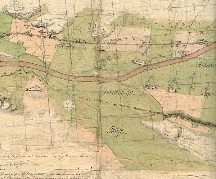
This map by Thomas Telford, from 1808, shows the future Göta Canal, with Hajstorp Bridge, the upper lock and the future dock, to the right on the map. Hajstorp's lower lock, built in 1821, is located in the middle of the map. The buildings in the villages of Hajstorp By and Slätteberg are also marked clearly on the map. To the far left on the map, one can see the Riksberg Locks. |
|
|
|
|
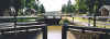 |
Hajstorp Bridge and upper lock. The rolling bridge was built at the workshop Motala Verkstad, in Motala, and is notably one of the five remaining rolling bridges on the Göta Canal.
Photo: Reinhold Castensson, 1999
|
|
|
|
|
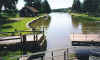 |
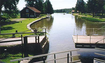
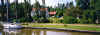
Hajstorp Bridge, harbour dock and harbour storehouse
Photo: Reinhold Castensson, 1999
|
|
|
|
|
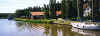 |
Canal engineer's villa, built in 1902, along with a workshop and a storehouse
Up until 1976, Hajstorp was the centre for building and maintenance on the western section of the Göta Canal. AB Göta kanalbolag then bought the shipyard at Sjötorp, to where it moved its repair and maintenance operations.
|
|
|
|
|
 |
Canal engineer's villa and the memorial to the inauguration of the Western Section of the Göta Canal, in 1822. |
|
|
|
|
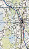 |
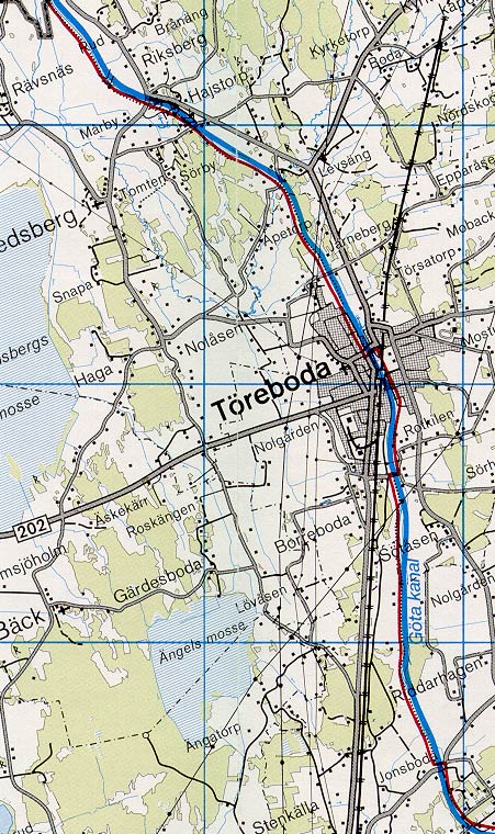
General map of the stretch of canal between Godhögen and Rotkilen.
(AB Göta kanal Tourist Map: Western Section, 1995).
Blue line = Gothenburg - Stockholm route of the Göta Canal used by the firm of shipowners Rederi AB Göta kanal.
Red line = bicycle path. |