kartator.gif (16846 bytes)


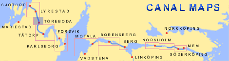
Töreboda Bridges
< Westwards | Godhögen Locks | Riksberg Locks and Bridge | Hajstorp Locks and Bridge | Töreboda Bridges | Rotkilen Bridge | Eastwards >

toreboda-rotkilen250.jpg (13292 bytes)This map shows a section of Elias Schveder's general map from 1784. It shows the planned stretch of the Göta Canal through the town of Töreboda. At that time, it was a small village (Torreboda By). Daniel Thunberg's proposal has also been included on the map. Both of the stretches of canal overlapped at this location.

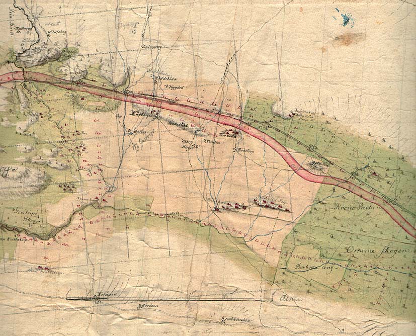
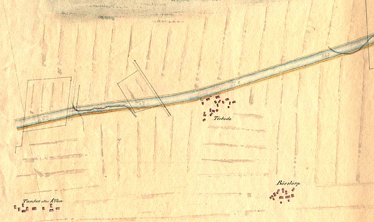
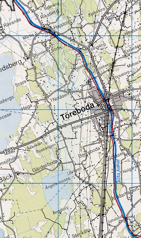
A network of roads, drawn in pencil, can also be found on the map. It served as a reference when, for example, making detail maps in a larger scale.

Click on the maps to enlargen! Use the "Back" button to return.


Other maps of the area:
thbg_I10_toreboda.jpg (67280 bytes) Detail of Daniel Thunberg's map from 1784, which shows the proposed stretch of canal through the village of "Torreboda by".
telf_III6_1808_toreboda.jpg (51236 bytes) Detail of Thomas Telford's map from 1808. This map shows the buildings in Töreboda at that time. One can also see the future stretch of the Göta Canal.
turist_rotkilen-godhogen.jpg (147763 bytes) General map of the stretch of canal between Godhögen and Rotkilen.

(AB Göta kanal Tourist Map: Western Section, 1995).

Blue line = Gothenburg - Stockholm route of the Göta Canal used by the firm of shipowners Rederi AB Göta kanal.

Red line = bicycle path.