kartator.gif (16846 bytes)


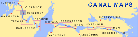
Rotkilen Bridge
< Westwards | Godhögen Locks | Riksberg Locks and Bridge | Hajstorp Locks and Bridge | Töreboda Bridges | Rotkilen Bridge | Eastwards >

toreboda-rotkilen250.jpg (13292 bytes)On this general map from 1784, drawn by Elias Schveder, one can see the two stretches of canal that existed at that time. Observe that the map is specifically oriented so that North is to the left on the map.

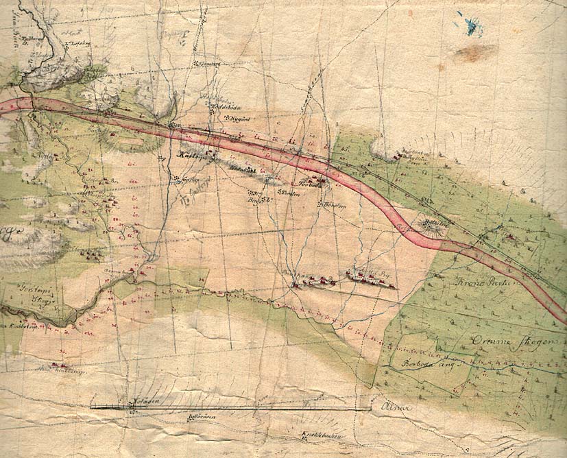
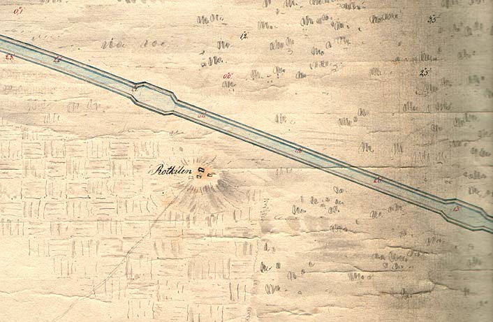
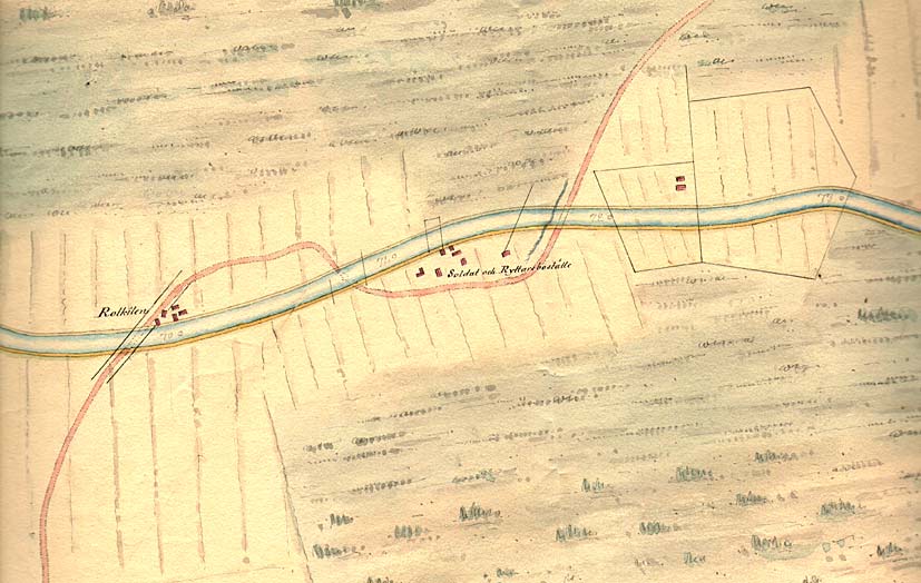
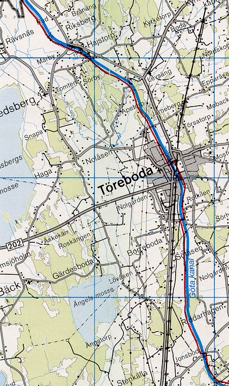
The village Rotkilen By is located in the upper part of the map, between the two stretches of canal. The main road through Rotkilen leads to Töreboda. This road passes diagonally across the canal.

Click on the maps to enlargen!
Use the "Back" button to return.


Other maps of the area:
thbg_I10_rotkilen.jpg (61449 bytes) Daniel Thunberg's proposal for the stretch of canal east of Rotkilen. Note: North is to the left on the map.
telf_III6_1808_rotkilen.jpg (74804 bytes) Thomas Telford's map from 1808. The map depicts in detail how the main road crosses the canal, south of Rotkilen. The stretch of road that passes the adjacent soldier's and horseman's houses are also identified on the map.
turist_rotkilen-godhogen.jpg (147763 bytes) General map of the stretch of canal between Godhögen and Rotkilen.

(AB Göta kanal Tourist Map: Western Section, 1995).

Blue line = Gothenburg - Stockholm route of the Göta Canal used by the firm of shipowners Rederi AB Göta kanal.

Red line = bicycle path.