kartatat.gif (16536 bytes)


Jonsboda Bridge
< WestwardsJonsboda Bridge | Stång Bridge | Vassbacken Bridge | Lanthöjden | Tåtorp | Eastwards >

jonsboda-stang250.jpg (6722 bytes)This map from 1808 shows the crossing of the road and the canal in Jonsboda.

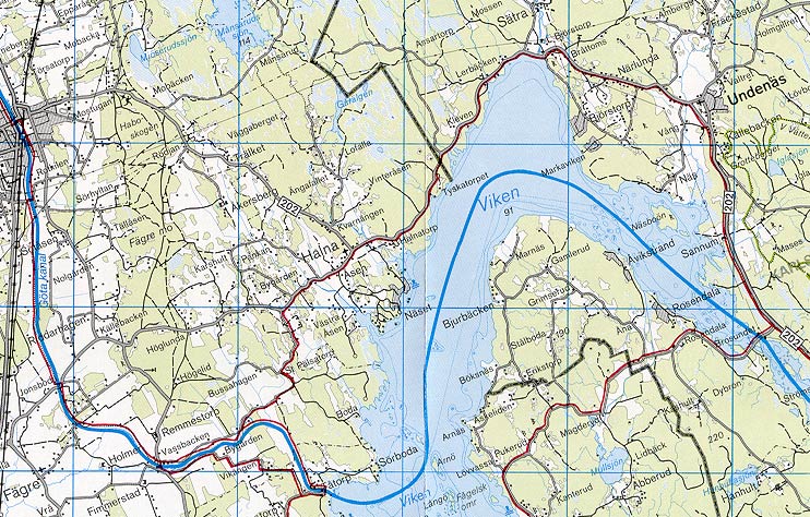
The map also shows the densely populated settlement in the village Jonsboda By. At this point in time, the village is not believed to have been partitioned.

Click on the maps to enlargen!
Use the "Back" button to return.


Other maps of the area:
turist_jonsboda-tatorp.jpg (155236 bytes) General map of the stretch of canal between Jonsboda and Tåtorp.

(AB Göta kanal Tourist Map: Western Section, 1995).

Blue line = Gothenburg - Stockholm route of the Göta Canal used by the firm of shipowners Rederi AB Göta kanal.

Red line = bicycle path.