|
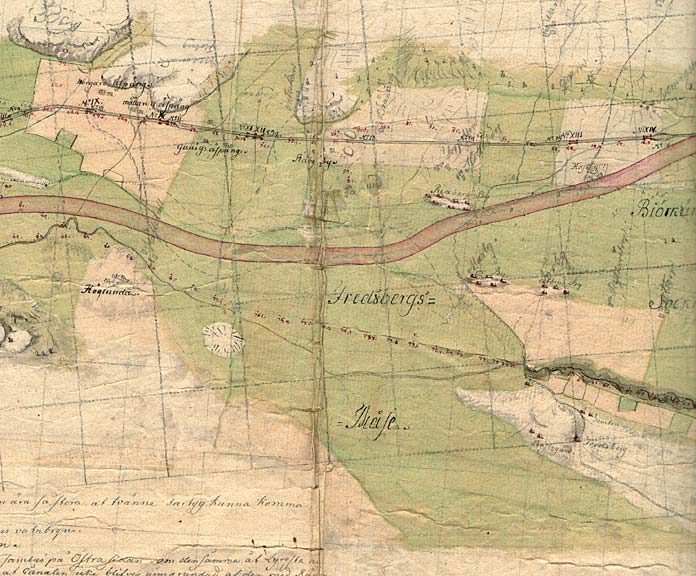
Riksberg Locks and Bridge < Westwards | Godh—gen Locks | Riksberg Locks and Bridge | Hajstorp Locks and Bridge | T—reboda Bridges | Rotkilen Bridge | Eastwards > |
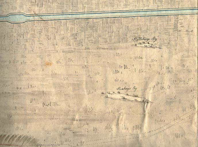
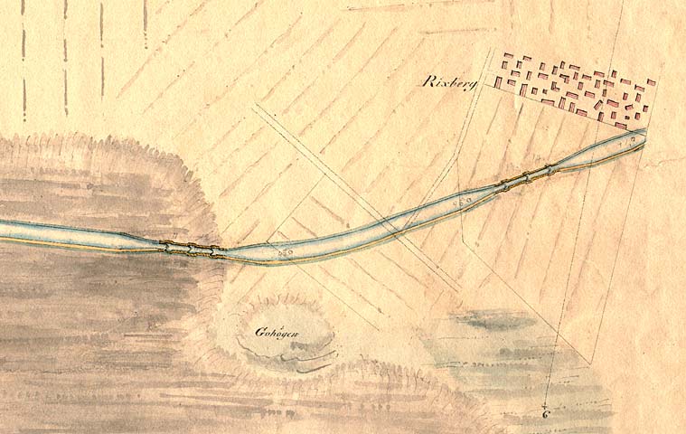
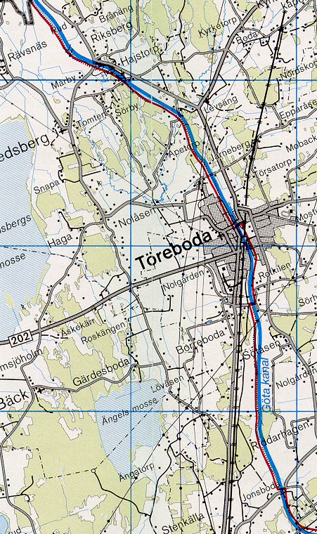
Riksberg and its elevated buildings can be seen clearer on Daniel Thunberg's map from 1874. The new stretch of canal is marked with a line. The village of Slðttebergs By is also drawn on the map.
Click on the maps to enlargen! |