kartatat.gif (16536 bytes)


Vassbacken Bridge
< WestwardsJonsboda Bridge | Stång Bridge | Vassbacken Bridge | Lanthöjden | Tåtorp | Eastwards >

vassbacken250.jpg (18659 bytes)Since the time of its origin, Vassbacken was a central meeting place on the Göta Canal. It was also where the lock inspector resided, up until the year 1905. There was also a loading dock with several storehouses located here.

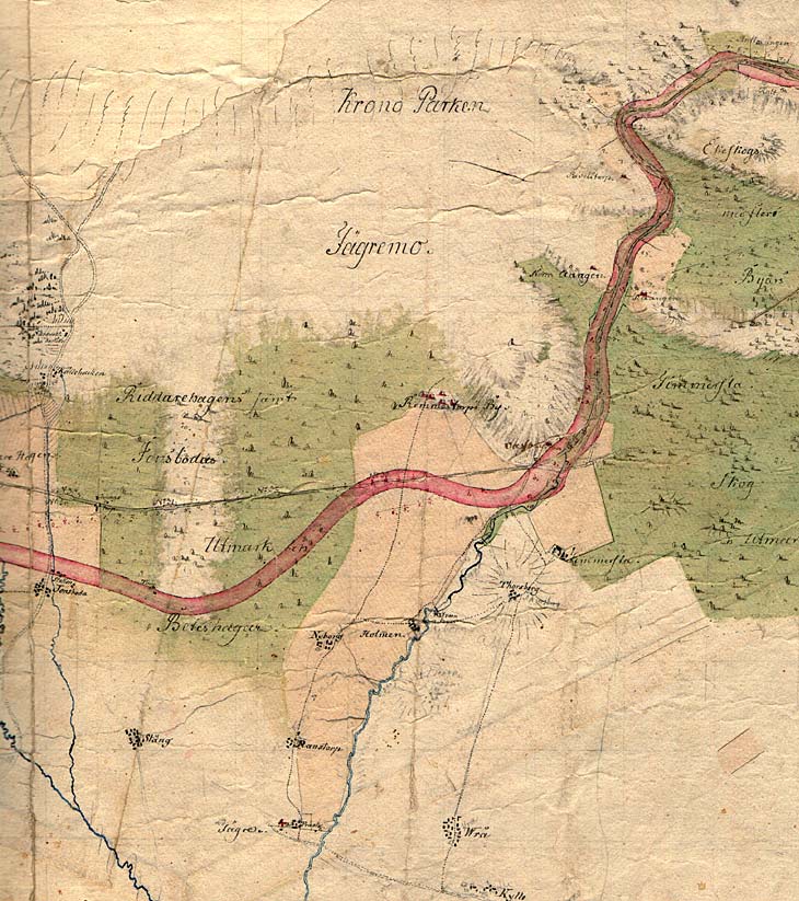
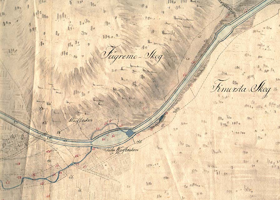
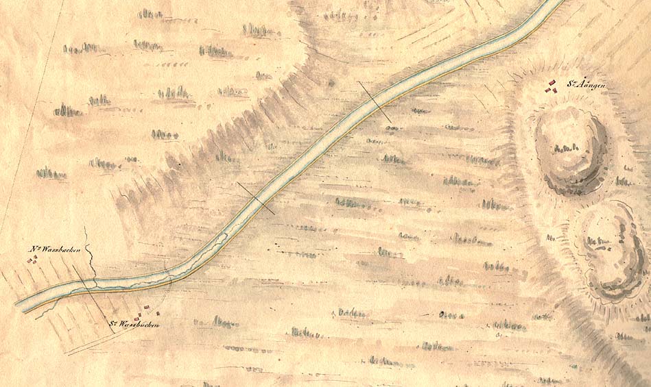
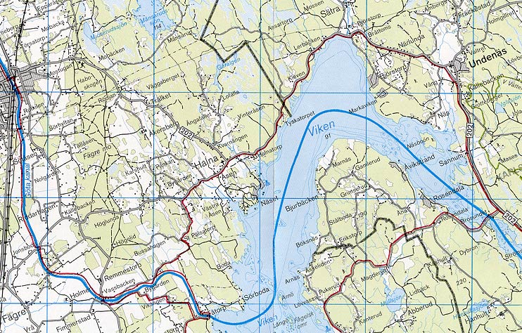
General map from 1784, where the loading dock at Vassbacken can be made out as a bulge of the red area on the map, which signifies the future location of the soil from the dug canal.

Click on the maps to enlargen!
Use the "Back" button to return.


Other maps of the area:
thbg_I12_vassbacken.jpg (117629 bytes) Detail from Daniel Thunberg's proposal from 1784

The map shows the main roads, a natural watercourse and the planned dock.

telf_III8_1808_vassbacken.jpg (90505 bytes) On the map of Thomas Telford's proposal from 1808, the previously drawn dock has been removed. The natural watercourse from the above map, however, can be seen on this map.
turist_jonsboda-tatorp.jpg (155236 bytes) General map of the stretch of canal between Jonsboda and Tåtorp.

(AB Göta kanal Tourist Map: Western Section, 1995).

Blue line = Gothenburg - Stockholm route of the Göta Canal used by the firm of shipowners Rederi AB Göta kanal.

Red line = bicycle path.