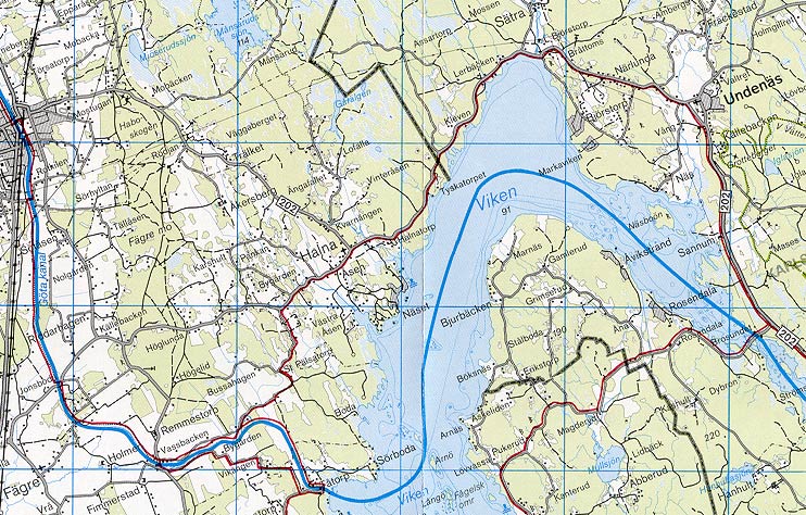
 Stňng Bridge is a rolling bridge located in an open farm landscape. The cubit stones nearby tell the story of towing stations along the canal. These provided the draught animals for the vessels. Between each stone were 1,000 cubits (1 cubit = approx. 0,60 metres). The towing fee was set according to the type of animal used for towing. Stňng Bridge is a rolling bridge located in an open farm landscape. The cubit stones nearby tell the story of towing stations along the canal. These provided the draught animals for the vessels. Between each stone were 1,000 cubits (1 cubit = approx. 0,60 metres). The towing fee was set according to the type of animal used for towing.
1 horse
1 pair oxen
1 pair oxen & 1 pair horses
|
2 shilling, 4 runstycken
3 shilling, 6 runstycken
6 shilling, 12 runstycken
|
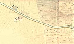
Telford's map from 1808. The villages of Jonsboda and Stňng are to the right on the map.
Click on the maps to enlargen! Use the "Back" button to return.
|