kartatat.gif (16536 bytes)


Lanthöjden
< WestwardsJonsboda Bridge | Stång Bridge | Vassbacken Bridge | Lanthöjden | Tåtorp | Eastwards >

tatorp-lanthojden250.jpg (12550 bytes)Lanthöjden is the highest point of the watercourse of the excavated portion of the Göta Canal (91.5 metres above sea level).

This is also the narrowest point on the canal. This is where Bergkanalen begins, a 3.5 kilometre-long channel blasted out of solid rock. To compensate for the high blasting costs, the breadth of the canal at this location was made smaller. The canal is wide enough for traffic moving in one direction. Passing places are located along this stretch.

Lanthöjden was also the location of hairpin bend in the canal, feared by many a canal skipper. Traffic was, therefore, regulated by semaphore (= system of sending messages using two flags). In 1933, the bend was straightened out. The work was classified as public relief work.

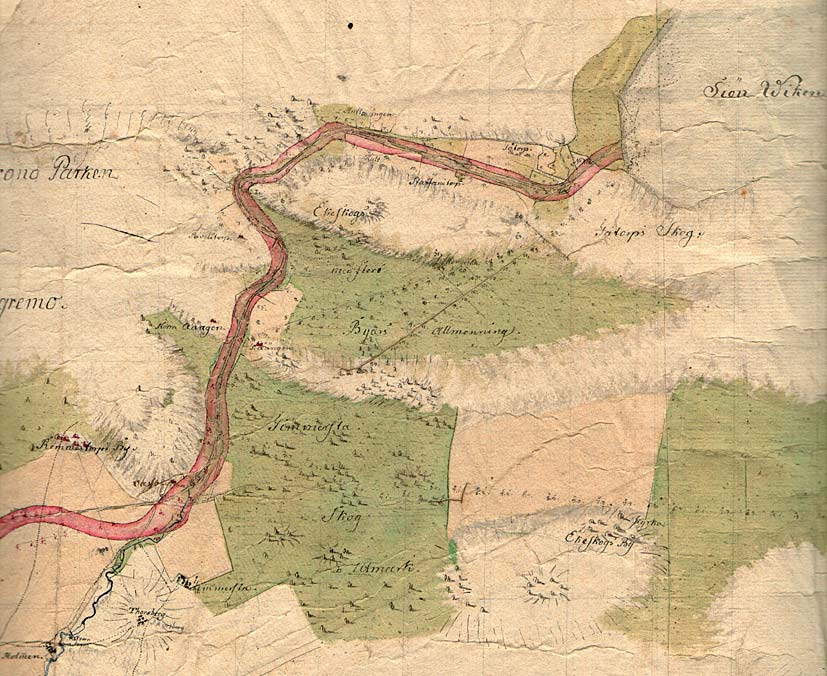
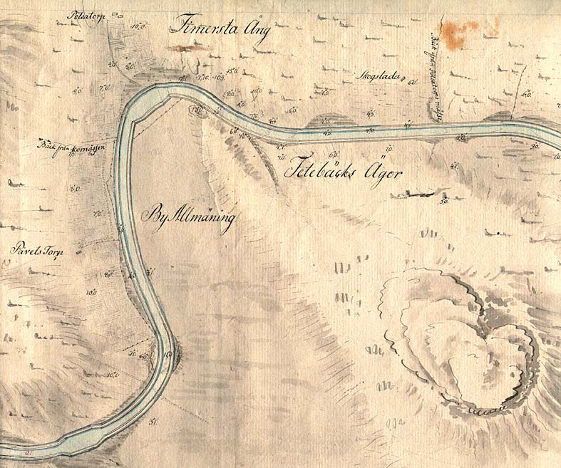
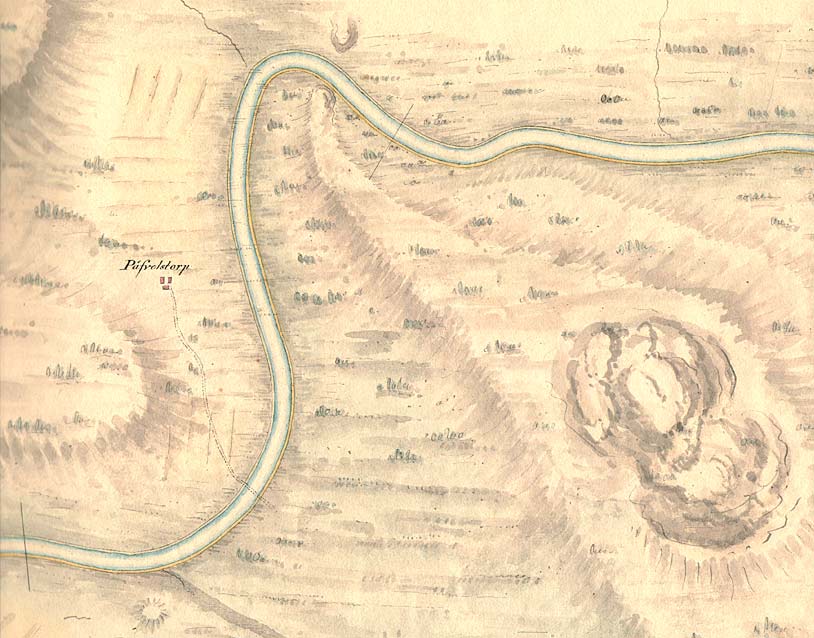
An obelisk, erected that same year, marks the highest point on the present-day Göta Canal.

General map from 1784, Elias Schveder.

Click on the maps to enlargen! Use the "Back" button to return.


Other maps of the area:
thbg_I12_lanthojden.jpg (107019 bytes) Daniel Thunberg's proposal for the stretch of canal, 1784.

A proposal for the widening of the hairpin bend is marked on the map. This would, in turn, make it easier for vessels to pass.

telf_III8_1808_lanthojden.jpg (83658 bytes) Thomas Telford's canal proposal from 1808.

The widening of the hairpen bend has been taken off the map. The Påvelstorp Manor with its approach road, is marked on the map.

turist_jonsboda-tatorp.jpg (155236 bytes) General map of the stretch of canal between Jonsboda and Tåtorp.

(AB Göta kanal Tourist Map: Western Section, 1995)

Blue line = Gothenburg - Stockholm route of the Göta Canal used by the firm of shipowners Rederi AB Göta kanal.

Red line = bicycle path.