kartamem_eng.gif (16633 bytes)


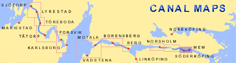
Klevbrinken
< Westwards  | Carlsborg Locks | Mariehov Locks | Duvkullen Locks | Klevbrinken
Söderköping Lock  | Tegelbruket Lock | Vargklyftan | Mem

vala023153_klevbrinken_dock_hori_250.jpg (17791 bytes)Klevbrinken is the location of the third dock to be built on the Göta Canal. It was completed in 1827. Originally, it was to be constructed east of Söderköping. The dock was primarily built to meet the needs of the island fleet for a repair shipyard. The shipyard area can be filled and emptied without affecting canal traffic.

The water from the docks was also used for irrigation.

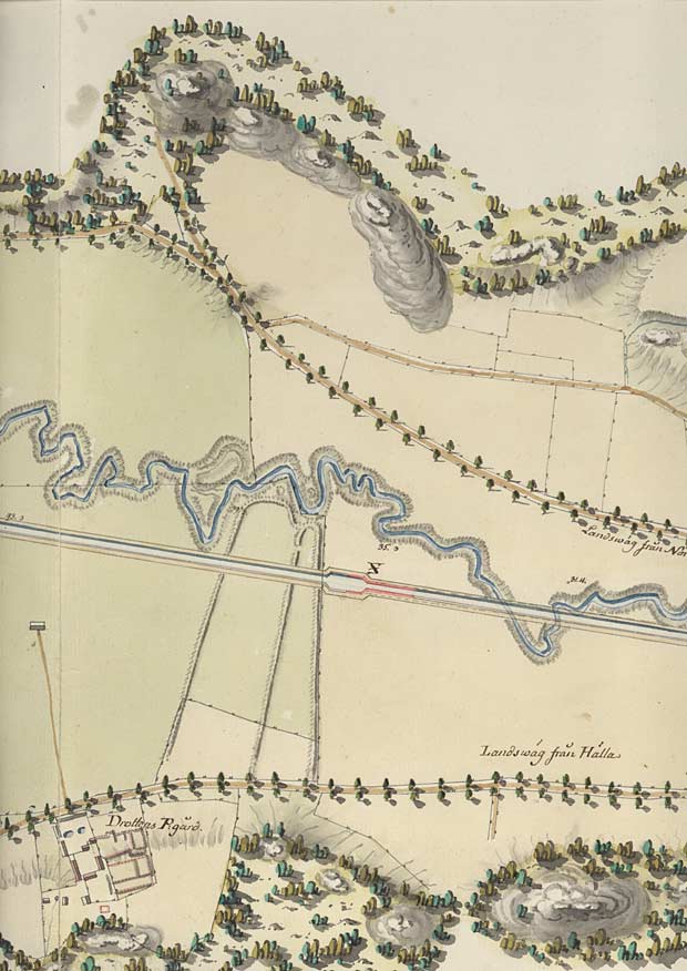
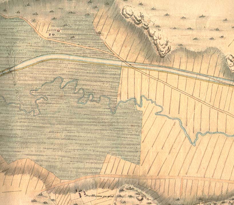
In von Röök's proposal from 1774, however, there is no evidence of a lock.

Click on the maps to enlargen!
Use the "Back" button to return.


Other maps of the area:
telf_III21_1808_klevbrinken.jpg (122636 bytes) Telford's map from 1808
turist_carlsborg-mem.jpg (99917 bytes) General map of the stretch of canal between Carlsborg and Mem.

(AB Göta kanal Tourist Map: Eastern Section, 1995)

Blue line = Gothenburg - Stockholm route of the Göta Canal used by the firm of shipowners Rederi AB Göta kanal

Red line = bicycle path