kartamem.gif (16633 bytes)


Vargklyftan
< Westwards  | Carlsborg Locks | Mariehov Locks | Duvkullen Locks | Klevbrinken
Söderköping Lock  | Tegelbruket Lock | Vargklyftan | Mem

vala023155_vargklyftan_250.jpg (7397 bytes)

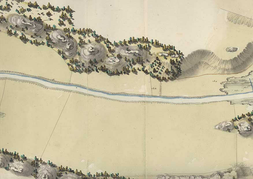
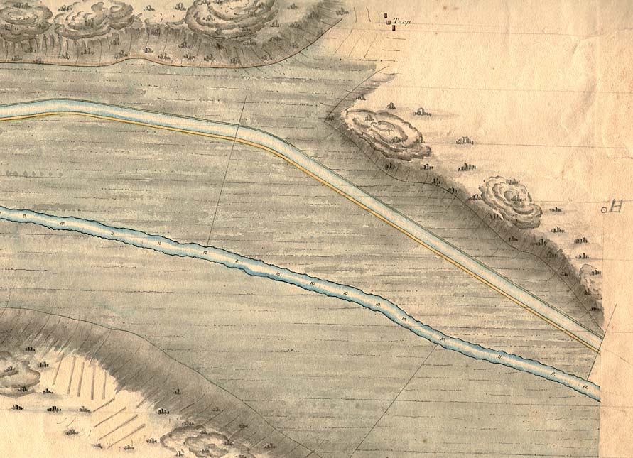
Vargklyftan is the name of a narrow passage between the river Storån and the protruding, steep coastal cliffs.

The cartographer Eric Myhrén skilfully reconstructs the terrain patterns.

(von Röök 1774)

Click on the maps to enlargen!
Use the "Back" button to return.


Other maps of the area:
telf_III22_1808_vargklyftan.jpg (107708 bytes) Telford's map that shows the river Storån and the course of the canal, 1808
turist_carlsborg-mem.jpg (99917 bytes) General map of the stretch of canal between Carlsborg and Mem.

(AB Göta kanal Tourist Map: Eastern Section, 1995)

Blue line = Gothenburg - Stockholm route of the Göta Canal used by the firm of shipowners Rederi AB Göta kanal

Red line = bicycle path