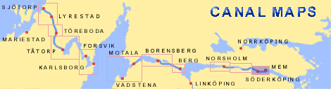
kartamem.gif (16633 bytes)


Söderköping Lock
< Westwards  | Carlsborg Locks | Mariehov Locks | Duvkullen Locks | Klevbrinken
Söderköping Lock  | Tegelbruket Lock | Vargklyftan | Mem

vala023153_soderkoping_250.jpg (8150 bytes)Söderköping is a medieval town founded during the first half of the 13th century. The irregular network of streets is typical of the time.

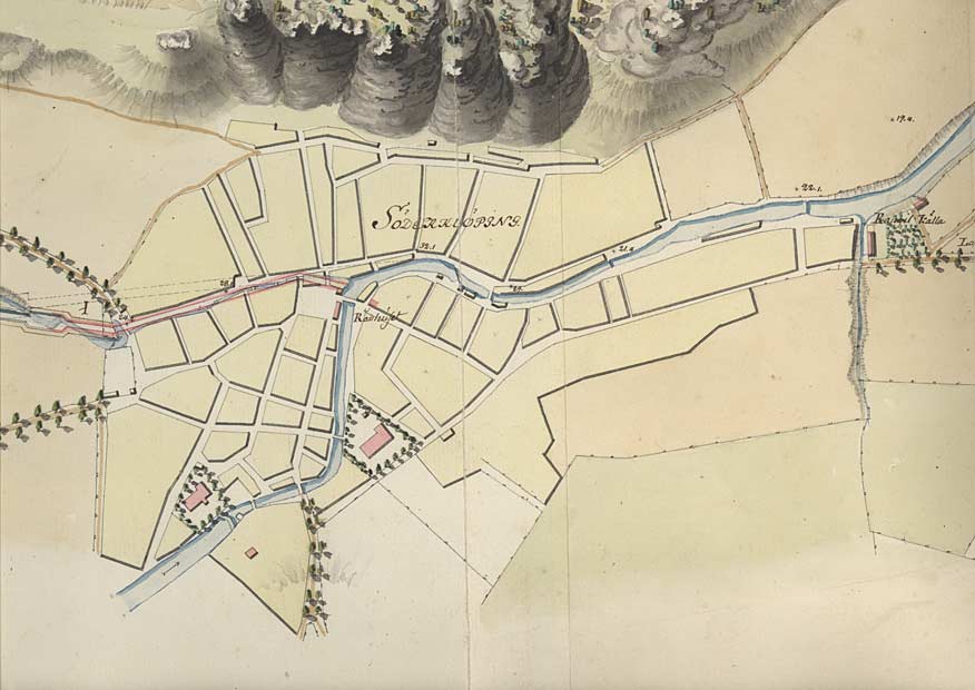
The town was an important centre in the Hanseatic League's network of trade. At that time, merchant vessels could sail up the river Storån all the way to the centre of the town. This was also the case when it came to the canal. According to the earliest proposals for the canal, the mouth of the canal is located in the middle of the town.

During the latter part of the 18th century, there was considerable discord in the Parliament between the bourgeoisie in Söderköping and Norrköping about the location of the mouth of the canal.

In 1740 the Parliament decided in favour of Norrköping. After a lot of lobbying the Parliament reversed its decision in 1772 and conferred the mouth of the canal to Söderköping.

(Town map from von Röök's proposal from 1774, in which one can see the course of the canal towards the town centre.)
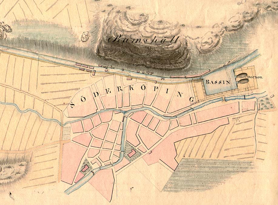
Söderköping Lock and Harbour:
The location of the harbour in Söderköping was moved in connection with the building of the canal at Söderköping Lock. The harbour storehouse was built in 1830, a couple of years before the inauguration of the canal. The lock was reconstructed in 1847.

Click on the maps to enlargen!
Use the "Back" button to return.


Other maps of the area:
telf_III21_1808_soderkoping.jpg (128843 bytes) Telford's stretch of the canal through Söderköping, along the cliffs of Ramundsberget, then called Ramshäll, 1808
soderkoping_flyg.jpg (96245 bytes) Aerial photo of Söderköping, looking eastwards towards Mem

Source: County Administrative Board in Östergötland, Cultural Environment Office
Photo: Jan Norrman, the Swedish Central Board of Antiquities, 1991

turist_carlsborg-mem.jpg (99917 bytes) General map of the stretch of canal between Carlsborg and Mem.

(AB Göta kanal Tourist Map: Eastern Section, 1995)

Blue line = Gothenburg - Stockholm route of the Göta Canal used by the firm of shipowners Rederi AB Göta kanal

Red line = bicycle path