|
|
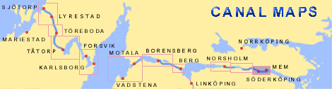
Mem < Westwards | Carlsborg Locks | Mariehov Locks | Duvkullen Locks | Klevbrinken Söderköping Lock | Tegelbruket Lock | Vargklyftan | Mem |
|
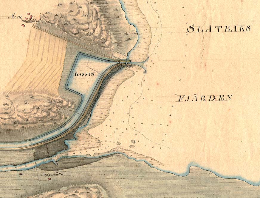
 The
planned outlet of the Göta Canal at Slätbacken via the river Storĺn at Mem.
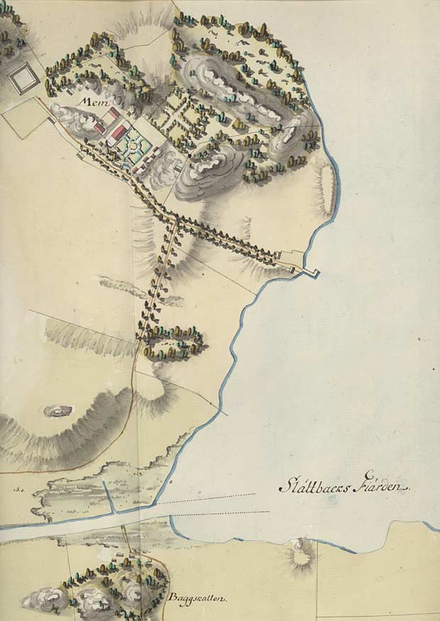
Located on the map is Mem Castle, which has a main building, wings, estate offices and the French-inspired castle gardens.
An approach road lined with trees was connected to the quay. Shipping and navigation were the most important means of communication during that time.
(von Röök 1774) Click on the maps to enlargen! |
|