kartabor.gif (16759 bytes)


Skarpåsen
< Westwards | Cape Birgitta | Borensberg (Husbyfjöl) | Näs Bridge
Kungs Norrby Bridge | Sörby Bridge | Ruda BridgeSjöbacka Bridge
Ljung BridgesSkarpåsen | Eastwards >

vala023162_skarpasen_250.jpg (10876 bytes)Skarpåsen, on later maps of the canal, has its origin in the two crofts of Stora Skarpåsen and Lilla Skarpåsen, i.e. Big Skarpåsen and Little Skarpåsen respectively.
Regulating gates with automatic closing were built here to prevent a sudden and uncontrollable emptying of the canal. A construction for the irrigation of nearby meadows with water from the canal was also built here.

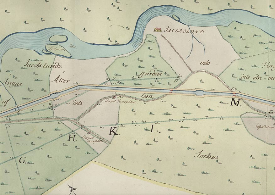
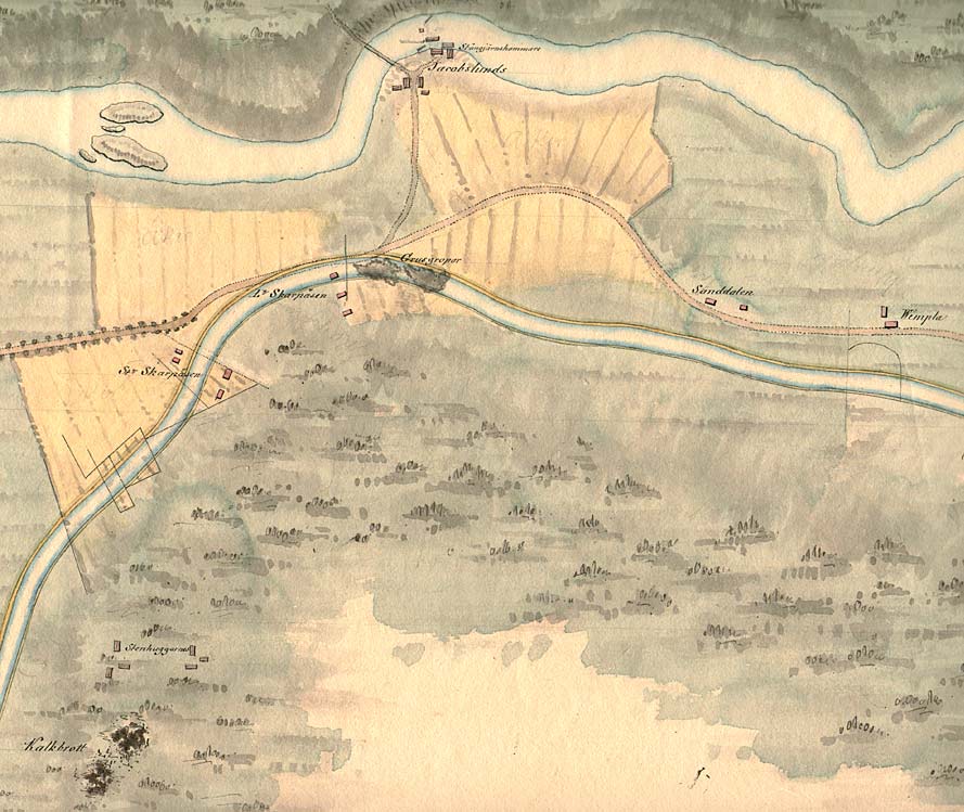
In the middle of Von Röök's map from 1774 (left) one can see the Skarpåsen crofts. The canal is proposed to run north of them. Farthest north on the map is the farmhouse on the Jacobslund Farm and the surrounding land on the southern banks of the rapids in the river Motala Ström (VaLa).

Click on the maps to enlargen! Use the "Back" button to return.


Other maps of the area:
thbg_I17_ljung-roxen.jpg (90334 bytes) This general map is from 1784, signed Daniel Thunberg. One can compare the above proposal by von Röök for the stretch of canal with the stretch of canal that later came to be realised.
Note the limestone quarry that is located near the western edge the map. Crushed limestone was used to build many locks.
telf_III15_1808_jacobslund.jpg (112676 bytes) This map from 1808 shows clearly how the network of roads would be affected by the building of the canal. As seen on the map, the eastern approach road, lined with trees, to the Ljung Manor was located here.
Two gravel pits, east of the croft Lilla Skarpåsen, are marked on the map. The stretch of canal has been built over the pits. To the north, one can also see in great detail the water-power plant and the buildings next to the tilthammer on the Jacobslund Farm. At the southwestern edge of the map, one can see the limestone quarry, now two in number, and the stonemason buildings.
turist_birgittasudde-skarpasen.jpg (200218 bytes) General map of the stretch of canal between Cape Birgitta and Skarpåsen
(AB Göta kanal Tourist Map: Eastern Section, 1995).
Blue line = Gothenburg - Stockholm route of the Göta Canal used by the firm of shipowners Rederi AB Göta kanal.
Red line = bicycle path.