|
S—rby Bridge < Westwards | Cape Birgitta | Borensberg (Husbyfj—l) | Nðs Bridge Kungs Norrby Bridge | S—rby Bridge | Ruda Bridge | Sj—backa Bridge Ljung Bridges | SkarpÍsen | Eastwards > |
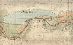
The map also shows how the proposal for the new stretch of canal cuts through both the main road and the road leading from the village.
Thunbergs proposition for the new stretch of canal past Norrby lake from 1784. |
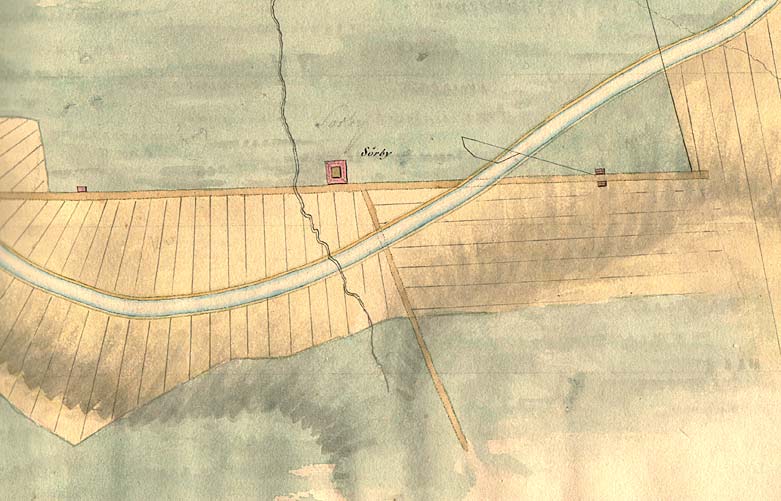
 General map, from 1784, that shows the location of S—rby, along side the old main road from Link—ping to Motala.