|
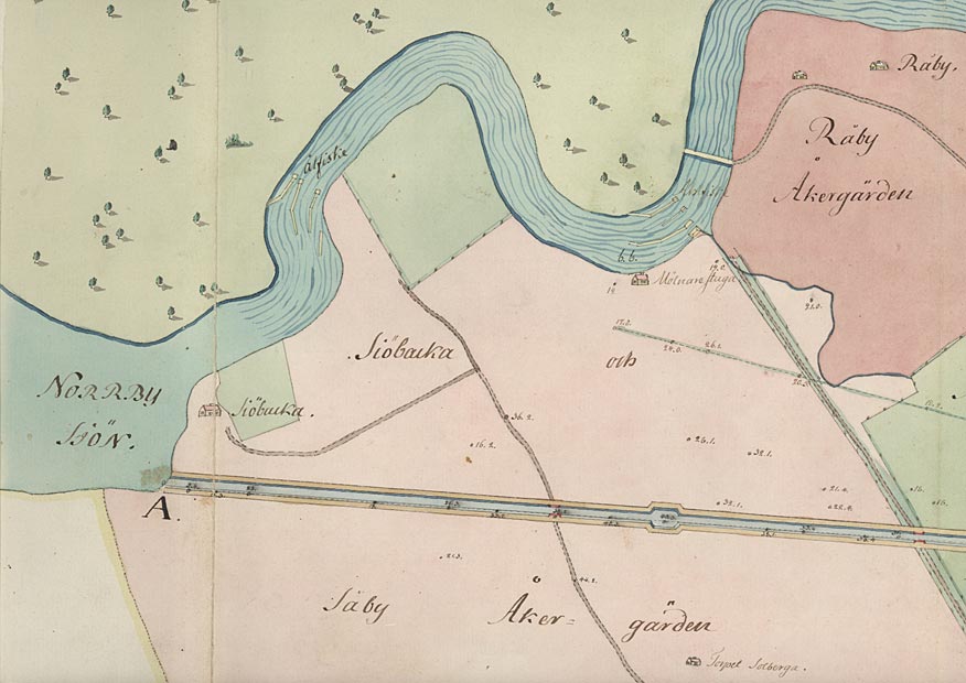
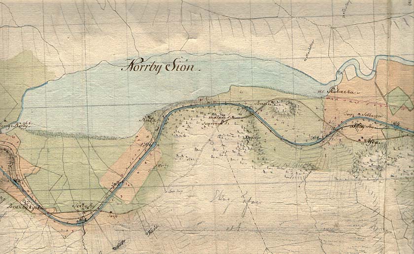
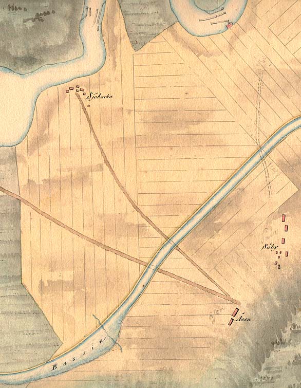
Sj—backa Bridge < Westwards | Cape Birgitta | Borensberg (Husbyfj—l) | Nðs Bridge Kungs Norrby Bridge | S—rby Bridge | Ruda Bridge | Sj—backa Bridge Ljung Bridges | SkarpÍsen | Eastwards > |
On this canal map from 1774, one can see the richness of details of the stretch of canal and the typical small-scale fishing and mill foundations of that time, located in the rapids of Motala Str—m. At present these are situated underwater at the generating-station dam at Malfors. (VaLa). Click on the maps to enlargen!
Use the "Back" button to return. |